
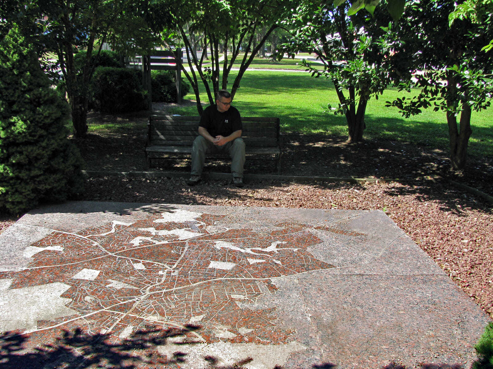
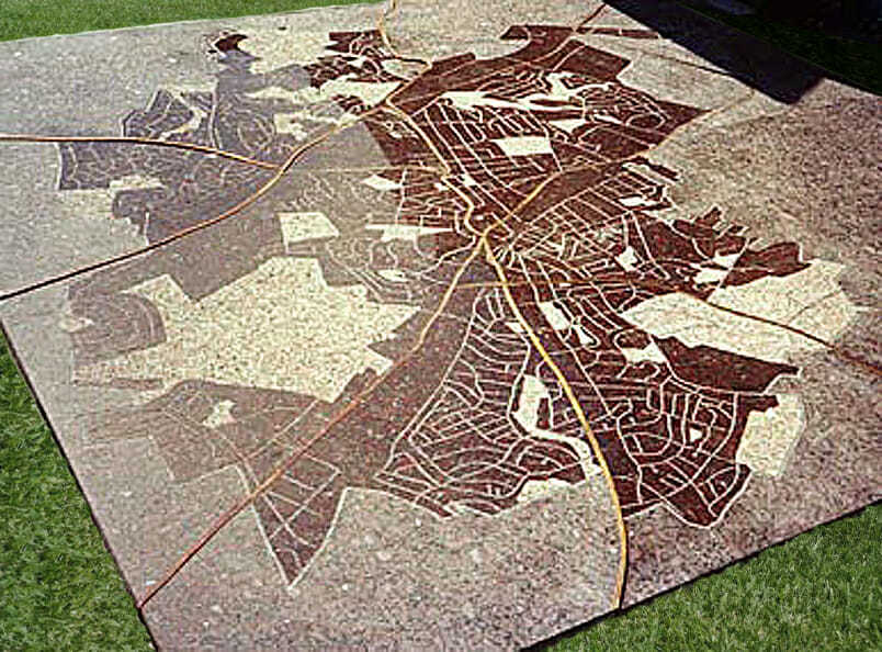
Rockville, MD.
144” x 144” x 2”
Granite, Brass
1992
Created out of granite and brass, this map of the City of Rockville is installed on ground level so that pedestrians can stand on it and orient themselves within the Rockville area. The polished granite map is sandblasted with the city’s streets and parks, and inlaid brass strips represent the major highways. Three different textures were used to vary the surface: flamed, sandblasted, and honed.